
Assessing the risks and hazards of mass earth movements in Nunavik
Project co-led by Armelle Decaulne and Najat Bhiry
Several villages and national parks in Nunavik (in northern Québec, Canada) are located near high hills whose slopes are subject to frequent gravitational movements. The objective of this project is to model and document these in order to identify their dynamics and the risks for the growing local population and the increasing number of visitors to the parks.I
Interview with Armelle Decaulne, co-leader of the MOVE project
How did the project come about?
 The project was developed in response to a local need for more knowledge about active slope processes, which affect access to nearby national parks and have caused mortal accidents through avalanches in one village. The key aim of the MOVE project is to improve understanding of slope geodynamics and their short-, medium- and long-term activity in a context of global warming. The second objective is to identify risks and vulnerabilities by defining and quantifying these gravitational movements. To do this, we are using a methodology based on both fieldwork (investigating geomorphology and stratigraphy) and laboratory analyses (dating, sedimentology, dendrochronology, paleoecology). All the data gathered will be combined with the knowledge of the Inuit elders in the communities (data collected in semi-structured interviews). The interview questions will focus on the possible occurrence of earth movements and the perceptions of their impact.
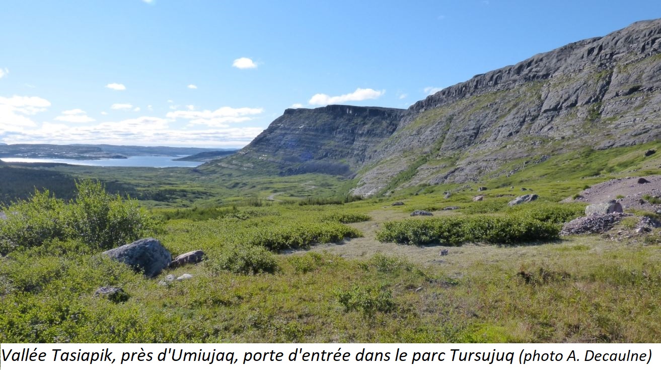
Which communities are concerned? 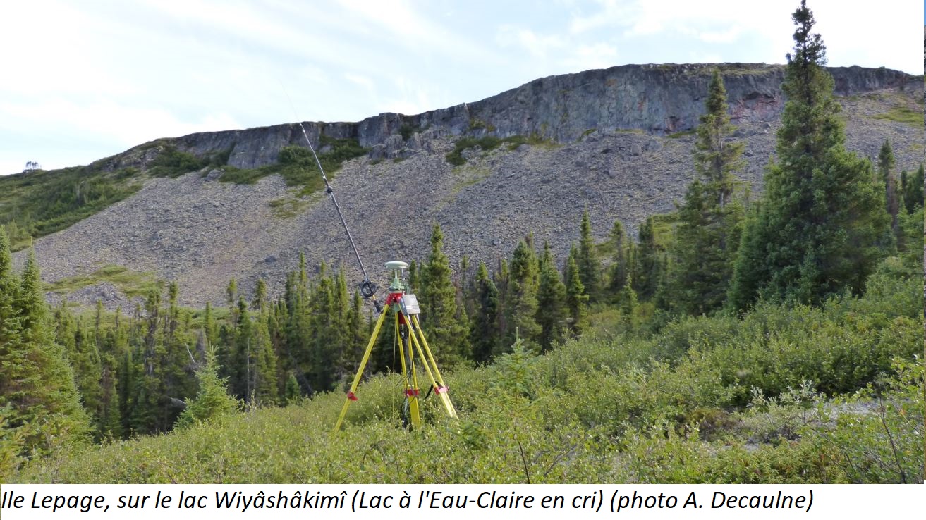 The project is located in the Tasiapik Valley and Lake Wiyashakimi in the Tursujuq National Park and concerns the communities of Umiujaq and Kangiqsualujjuaq.
Who are the stakeholders and team members?
The main stakeholders are the mayors of the concerned villages (Umiujaq and Kangiqsualujjuaq) and the authorities of the Tursujuq National Park.
The team consists of:
- Armelle Decaulne (CNRS research fellow at the Université de Nantes and the Géolittomer laboratory, which focuses on coasts, the environment, remote sensing, and Geomatics)
- Najat Bhiry (Deputy director of the Nunavik Human–Environment Observatory, director of the Centre of Nordic Studies, CEN, and tenured geography professor at the Université Laval)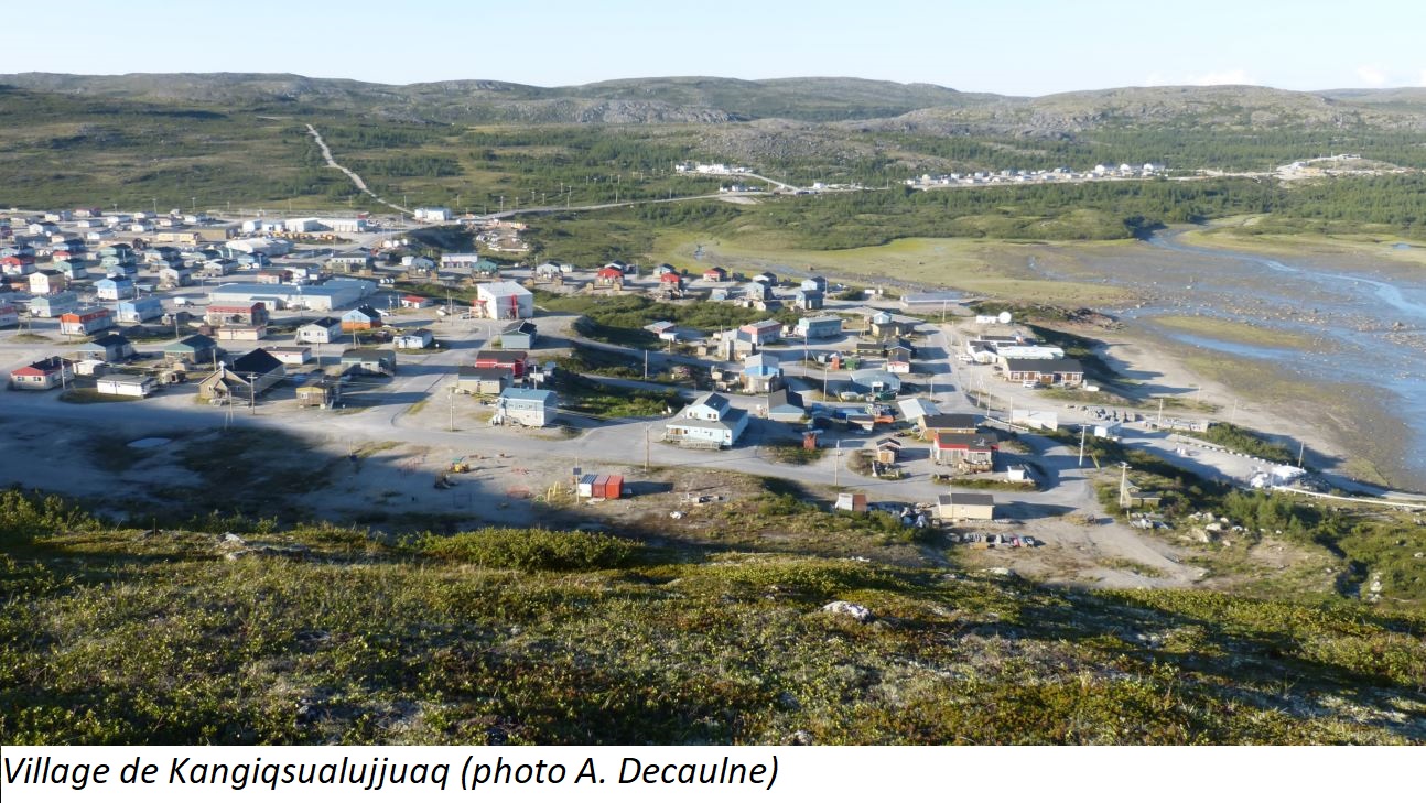
- Samuel Veilleux (Master’s student in geography at the Université Laval)
What is your approach? How are you working with the local community?
The project is being developed through missions that aim to collect data in the field.
What are the results so far?
The history of landslides on the Clearwater Lake islands: a preliminary study’, Makivik magazine (issue 110, pages 99–100)
See PROJETC page